Want to improve your navigation data, to access further analysis, to fix some outages in your trajectory?
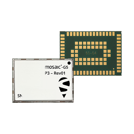
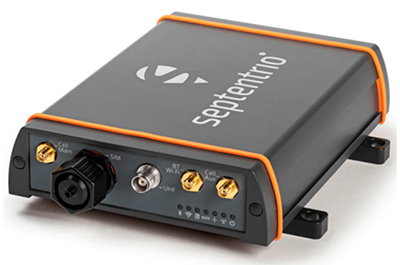
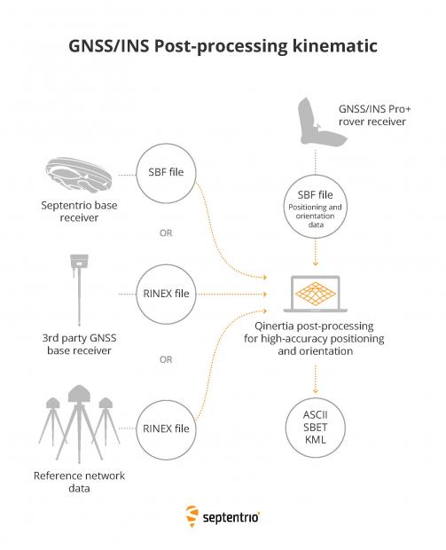
Qinertia PPK performs GNSS/INS post-processing with raw GNSS observables. It is offered with AsteRx-i3 D Pro+, AsteRx-i3 S Pro+ and AsteRx SBi3 Pro+ receivers and is ideal for survey and mapping applications. The Septentrio GNSS/INS receiver combined with Qinertia provides a seamless workflow solution from mission data logging (GNSS and IMU) to post-processing. By post-processing GNSS and IMU data, trajectory and orientation accuracy is improved and sensor data such as images can be geotagged. This makes high-accuracy mapping possible even in places where real-time GNSS corrections are not available.

Do you need sub-cm accurate positioning, but you don’t want to set up a real-time base station link? RTK (Real Time Kinematic) accuracy can also be achieved with post-processing, which is known as PPK (Post Processing Kinematic). Often used in mapping and photogrammetry, PPK can be used whenever real-time positioning is not necessary. It can also be used to improve GPS/GNSS data when the real-time base station link is unstable or has malfunctioned. Septentrio PP-SDK offers you the possibility to achieve reliable centimeter-level positioning by post-processing GNSS and base station data.
• Less than 3 minutes for a 6-hour log thanks to forward and backward computation at the same time
• Handle very large logs thanks to modern 64-bits design
• Fully integrated in your own solution even if cloud based: the Command Line Interface is available for integrators as well as power users needing batch
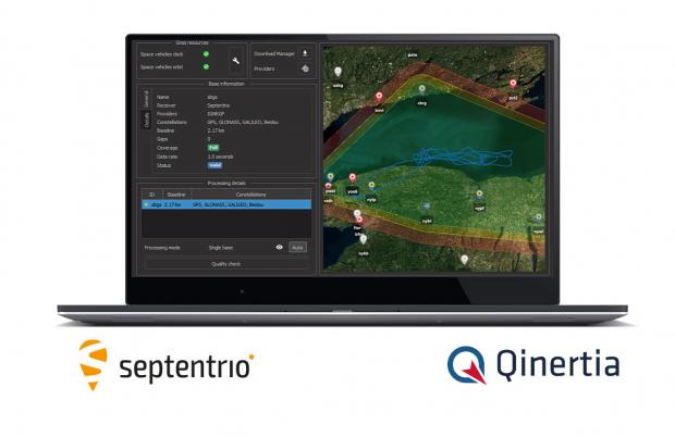
• Advanced QC indicators
• Single base station or Virtual Base Station with automatic network adjustment
• Drag and drop user’s base station data
• Preview trajectory and base station on the map
• Access to more than 8000 base stations in over 164 countries
• Automatic download and quality check

摘录自:Intuitive GNSS/INS Post-processing Software | Septentrio
电话: 025-85577685
地址:南京市江宁开发区诚信大道990号优尚天地3栋417室
企业微信